8 Good Reasons Why Cities Choose for Smarter Traffic Data
Published by Dani Knezevic on
Jan 19, 2021 11:00:00 AM
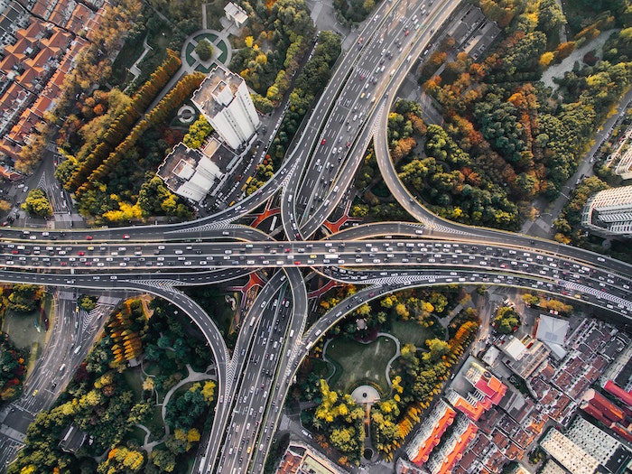
Urban centers today continue to grow and with that comes pollution, noise, traffic congestion and the accidents that come from more road users. The number of cars, trucks and vehicles continues to increase, making the job of a city planner both more important and more challenging.
The huge number of people commuting and travelling in general is generating a lot of traffic data. This data can be collected and used to drive a city planning department’s decision-making. The more data that is collected, the better information and knowledge there will be to make better decisions, improve safety and reduce both congestion and pollution.
However, not all data is the same and not all data-collection systems are the same. Methods for collecting data have evolved with new technologies coming onto the market. Lidar sensors combined with artificial intelligence, like the technology used by Bluecity, is a new option for city planning and operation departments. Many municipalities have chosen this technology to advance toward smarter, more efficient cities. Here are some reasons why.
Enhanced categorization of data
While information about cars is important, city planners need more. Bluecity AI solution can provide accurate information about the different types of road users, along with the how, when and where of road usage. Methods such as inductive loops cannot provide accurate information about cyclists and pedestrians.
Safety analyses
One of Bluecity’s most exciting features is the Bluecity Q platform which provides safety metrics based on the traffic data collected. In addition to presence detection, crosswalk occupancy and speed analytics, Bluecity IQ offers specialized safety analytics that include the number of near misses, pedestrian crossing time estimation, time-to-collision analyses, detection of red-light runners and more.
Accuracy in any weather
While video can provide accurate data collection, it can only do so in optimal conditions. Bluecity sensors can capture data at night, providing 24-hour coverage of intersections. What’s more, the sensors function just as accurately during extreme weather conditions such as snow and rain. City planners can capture data on road usage without gaping holes in the data collection periods.
Low to no maintenance cost
Once a city chooses its solution for collecting traffic data, it must make sure to maintain it. Obviously, the cost of maintenance should be considered when looking at adoption. The total cost of ownership will include the cost of the technology, installation and maintenance. Bluecity technology is not only easy to install but the lidar sensors require little to no ongoing maintenance.
One sensor for the entire intersection
Unlike other data collection methods, only one lidar sensor is needed to cover an entire intersection and capture traffic data in four directions. This represents a significant cost savings for cities compared to other traffic data collection methods. Multiple cameras and inductive loops would be required in order to obtain the same coverage. Plus, installation and maintenance for these other methods is more costly.
Ideal for more than one department
The Bluecity iQ solution is a great tool that can be shared by more than one department within the city. Both planning and traffic control optimization can leverage the type of traffic metrics that Bluecity AI provides. This means that the cost of the solution can be shared by two departments making it that more cost-effective.
No citizen concerns about privacy
Citizens are becoming critical of privacy invasion through the use of modern technology. Facial recognition capabilities can be used in camera-based systems leading to privacy concerns. Cities can reassure their citizens that the traffic information captured by lidar sensors is anonymous. Unlike camera-based systems, lidar technology respects the privacy of citizens. In this blog, we explore the need for traffic data solutions to be in compliance with GDPR.
Artificial Intelligence
There are many benefits to collecting traffic data with a solution that leverages artificial intelligence (AI). Accuracy of the data collection is enhanced by the simple fact that the algorithms improve as the system continues to collect more data. Bluecity takes advantage of this machine learning and can provide advanced analytics that predict the best outcomes according to the data being collected.
Understanding how people use roads is increasingly becoming an integral part of what cities need to build a smart city. Accurate traffic data gives city planners the ability to make better decisions and improve the lives of citizens with shorter commutes, safer streets and lower carbon emissions. Bluecity is a traffic data platform that combines LiDAR technology and AI to provide real-time traffic data and analytics. Interested in testing the solution? Learn the 5 key things to consider when choosing an intersection for your lidar and AI pilot project here.